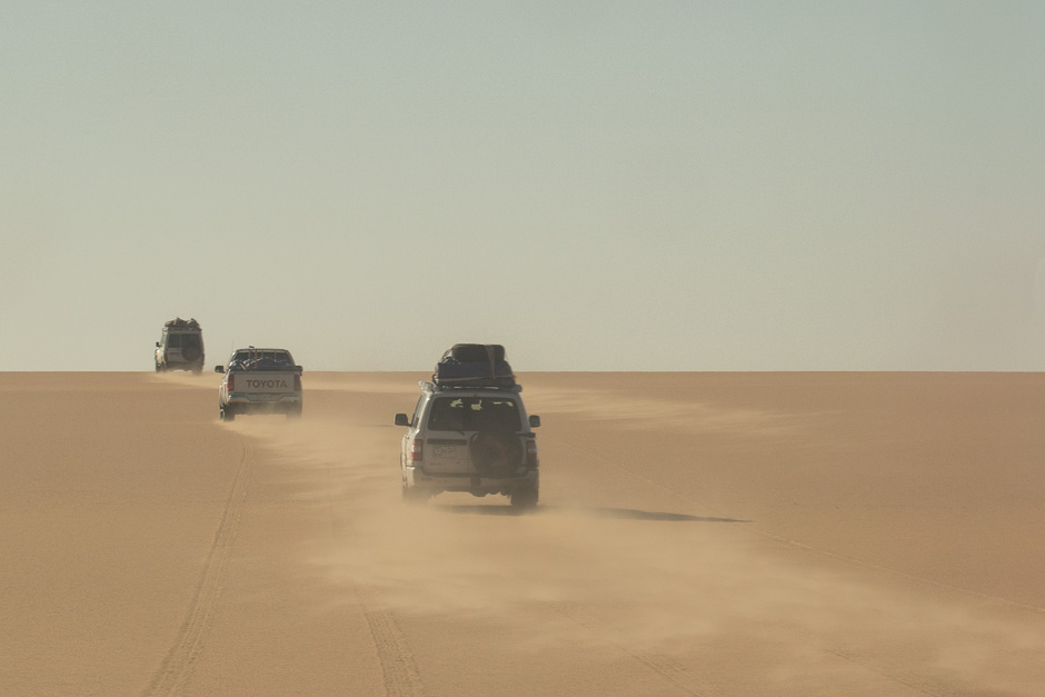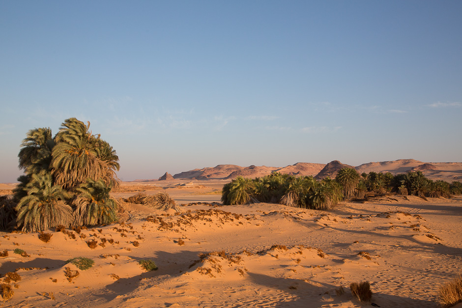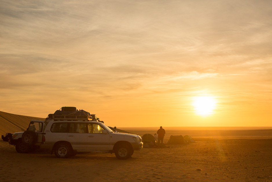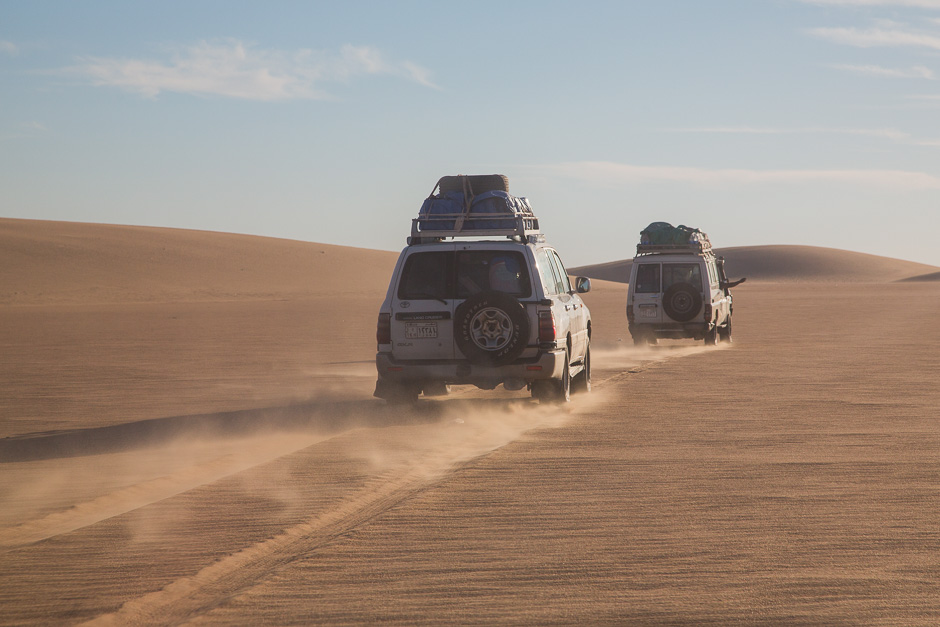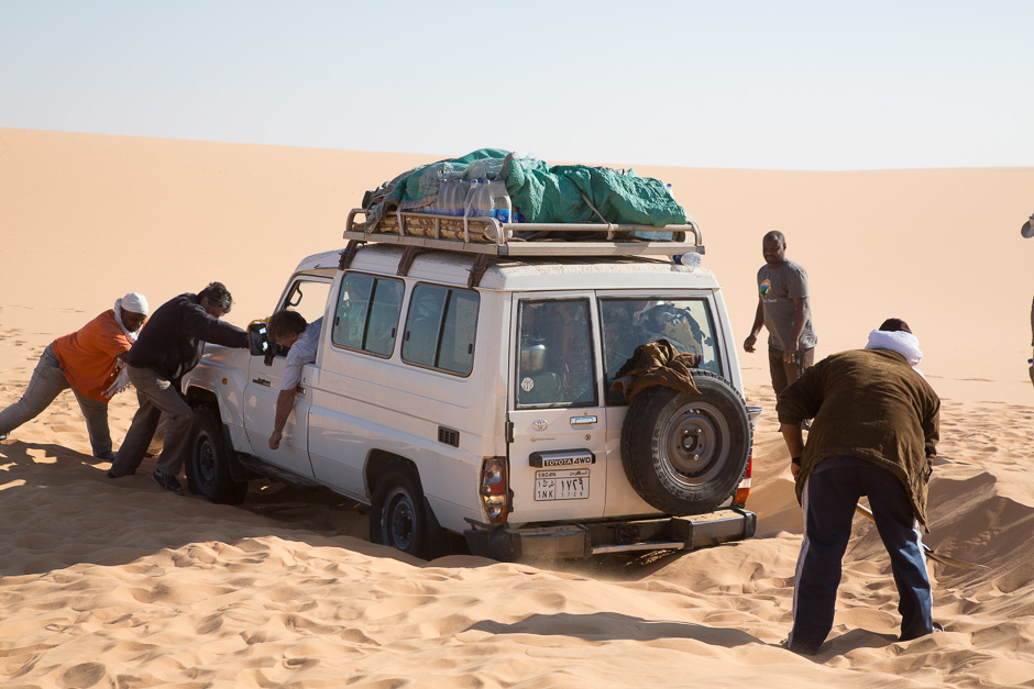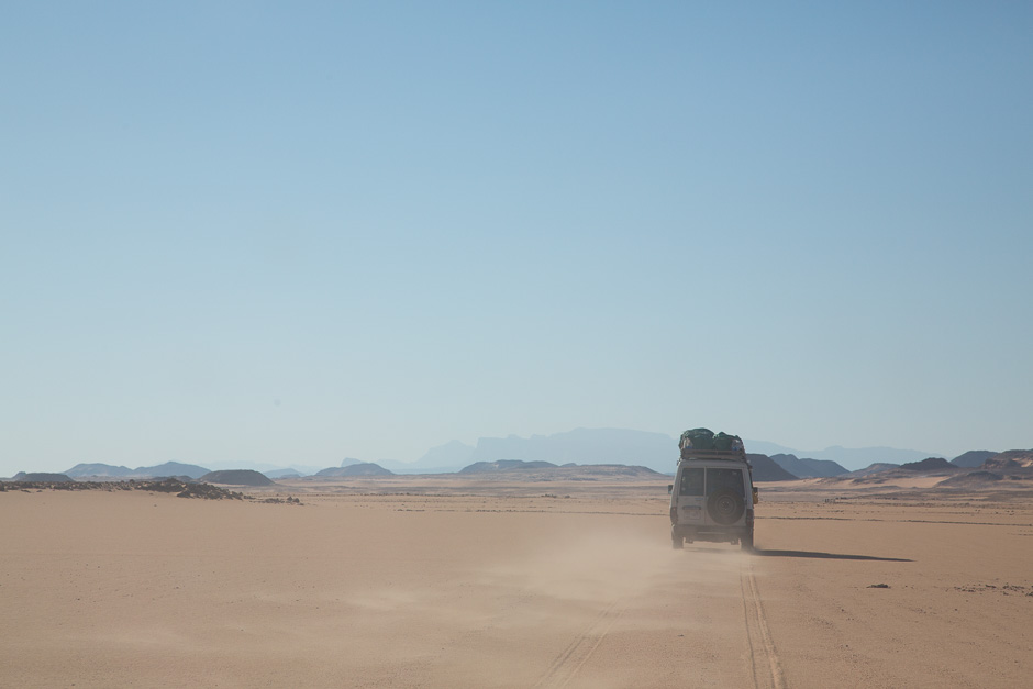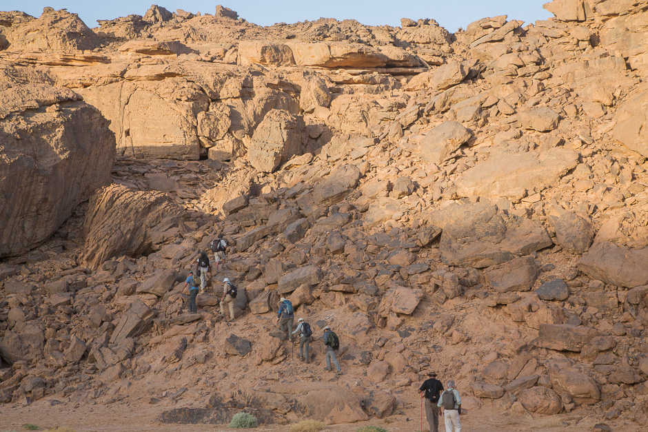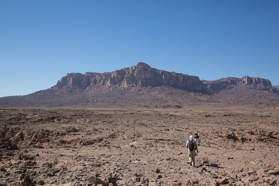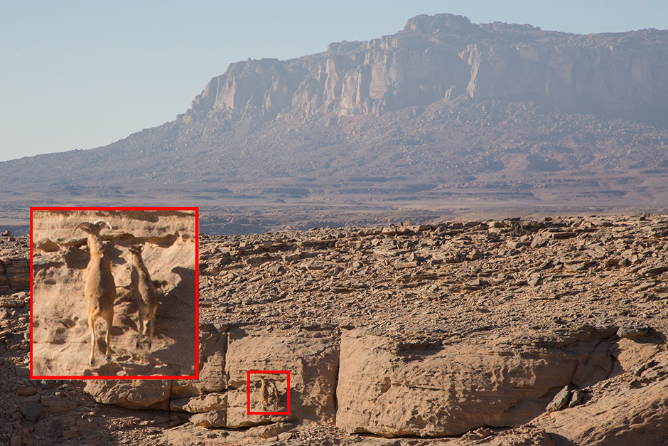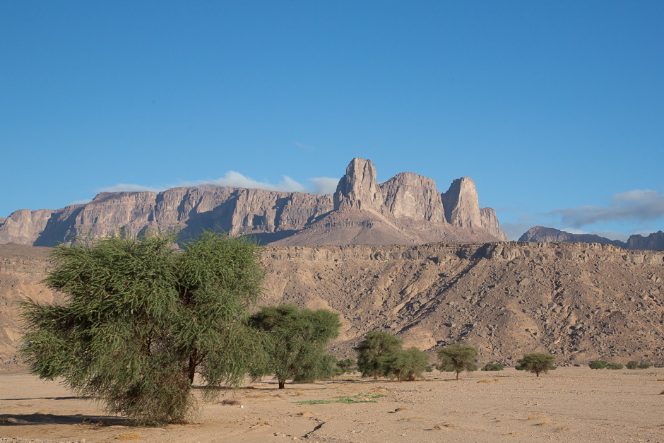
Jebel Uweinat means in Arabic “mountain with small springs” which still exist but very few. This region is one of the most arid place in the world. Travel to Jebel Uweinat from the capital Khartoum requires 5 days with 4WD cars: going up north for about 700km then going west for another 700km alongside of the Egyptian border.
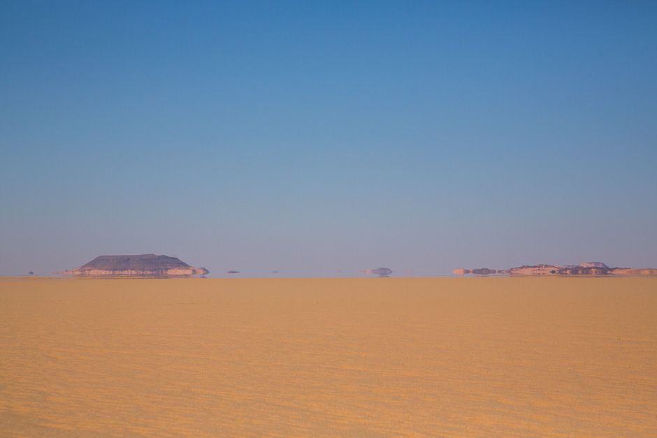
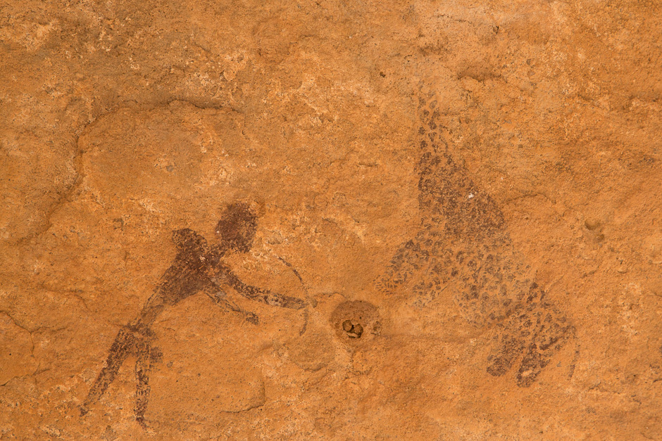
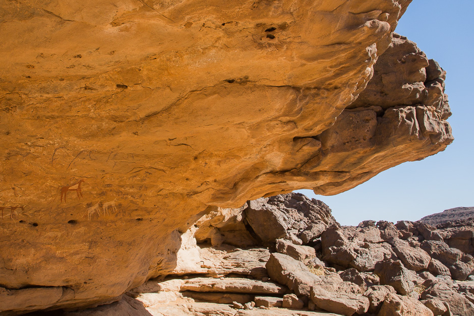
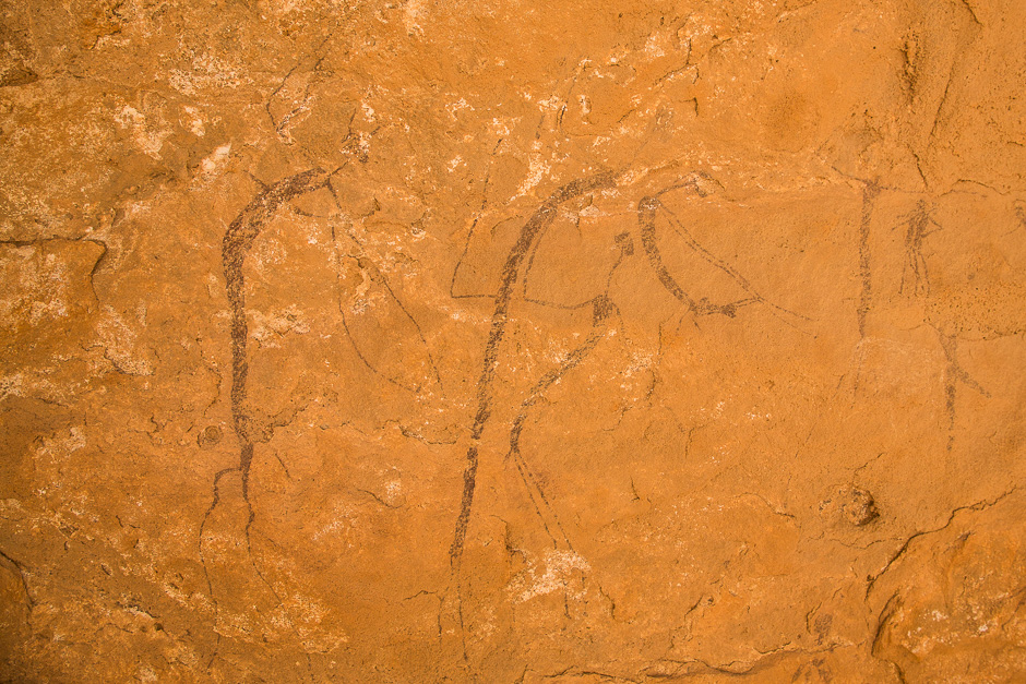
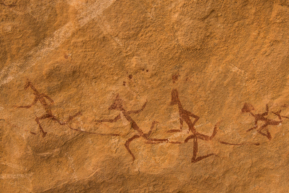
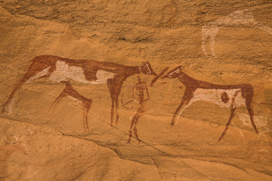
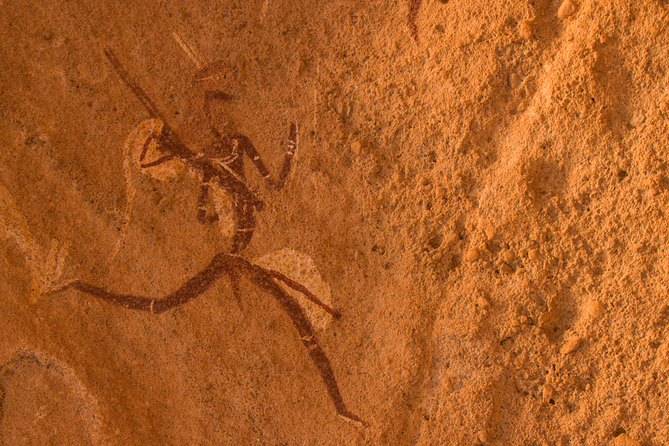
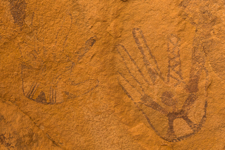
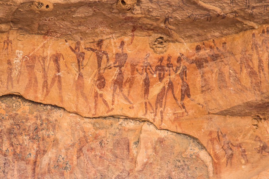
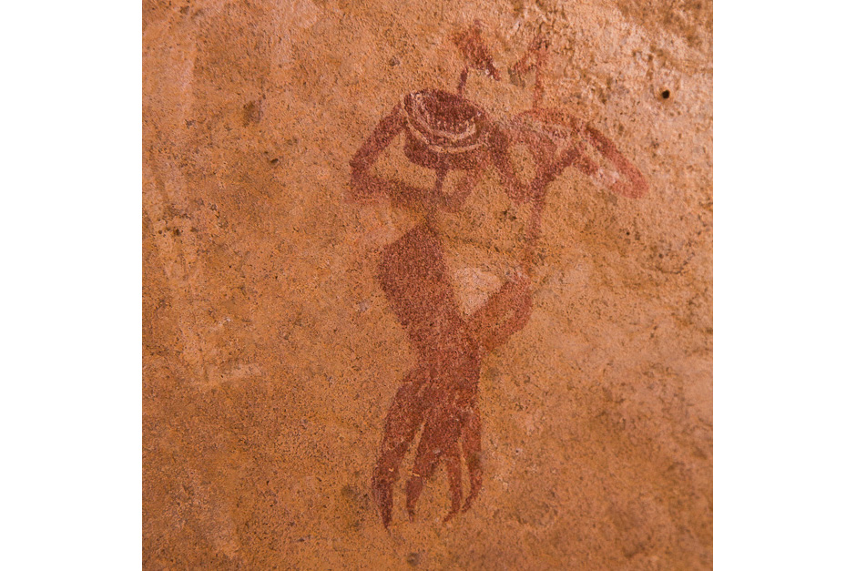
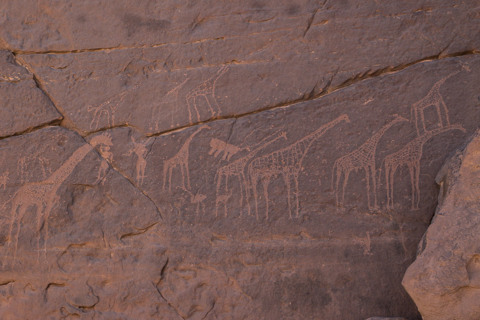
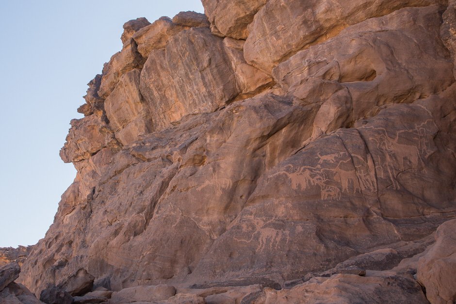
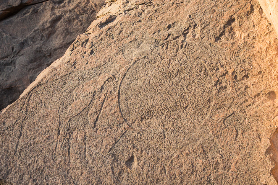
The mountainous area of over 200km from Gilf Kebir to Jebel Uweinat was populated by pre-historic peoples during the time of the Green Sahara and they left numerous rock art. There are over 1,200 sites of rock art and new discoveries are still ongoing. The artists are: 1) Hunters and gatherers who lived from about 6000 to 4500 BCE at the end of the Paleolithic period, 2) Pastoral people herding cattle who lived from about 4500 to 3500 BCE in the Neolithic period. Jebel Uweinat became arid and it was impossible to herd cattle in about 3500BCE. (December 2015)
ジェベル・ウェイナットとはアラビア語で「小さな泉のある山」を意味する。その名の通り現在でも「小さな泉」はわずかに存在するが、世界で最も乾燥化の激しい砂漠地帯にある。スーダン側からウェイナットに行くには、首都ハルツームから四駆車でナイル川沿いに約700キロ北上し、砂漠に入ってエジプト国境沿いに約700キロ西に走る。片道5日間の行程となる。
約200キロ南のギルフ・ケビール台地からウェイナット山の一帯は、先史岩壁画が数多く存在する。1200か所を超える岩壁画サイトが見つかっており、今でも新たな発見が続いている。岩壁画の作者は、紀元前6000年-同4500年ごろまでいたものと推測されている旧石器時代終盤の狩猟採集民と、紀元前4500年-同3500年ごろまでいた新石器時代の牛牧民と考えられている。緑豊かだったサハラは、紀元前3500年ごろには牛の牧畜ができないほど乾燥化が進んだ。(2015年12月)